


You’ve probably heard of Iceland being referred to as “The Land of Fire and Ice”. It is, without question, an island of extraordinary, natural beauty and attractions like the volcanoes and glaciers that inspired its moniker; stunning waterfalls; caves made of lava and ice; breathtaking fjords and quaint, oceanside towns and villages. But, for the last few days it’s certainly living up to the “fire” part of its nickname!
Iceland sits on top of the Eurasian and the North American tectonic plates, two of the largest on the planet, which are moving in opposite directions. (You can even snorkel or scuba dive in Silfra Ridge, with the plates on either side of you). This separation of the two plates makes Iceland a seismic and volcanic hotspot!
Since early February, several weeks of nearly continuous earthquakes of varying intensity (more than 50,000, compared to the usual 1,000-3,000 registered each year since 2014), had given scientists at the meteorological office (IMO) in Iceland reason to believe an eruption of a volcano in the Krysuvik volcanic system on the Reykjanes Peninsula was imminent, the first in the area for nearly 800 years.
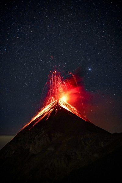
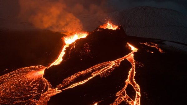
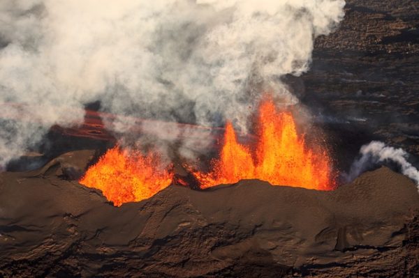
They felt that the earthquakes were a result of a large body of molten rock, known as magma, pushing its way to the earth’s surface. Sure enough, they were proven right, when on Friday, March 19, 2021 at around 9:40pm local time, it was confirmed that a fissure of about 200m in length had opened up just south of the Fagradalsfjall mountain in the Geldingadalur valley, and began ejecting lava up into the air. The eruption is being called Geldingadalsgos (referring to the Geldingadalur valley). Video footage taken from a coast guard helicopter shows streams of red lava flowing out of the fissure, fanning out into a lacelike pattern. There is a live webcam as well as some amazing drone footage videos like this one from Global News. I wonder how many drones so far have melted from the intense heat, when they ventured too close? RIP drones, we appreciate your sacrifice!
The eruption is about 40km southwest of the capital city of Reykjavik and 8km from the nearest town of Grindavik, in an uninhabited area. Residents of the town of Grindavik could see clouds in the night sky turn red as the eruption gained strength. For the first few days after the eruption people were advised to keep away from the area, but this week thousands of Icelanders have made their way to view the spectacle. Special trails have been marked by the local search and rescue squad Þorbjörn and a hike of about 90 minutes each way gets you to the area where you can view the volcano spitting up magma and the lava flowing into the valley below. Flightseeing trips are also being undertaken by small aircraft and helicopters.
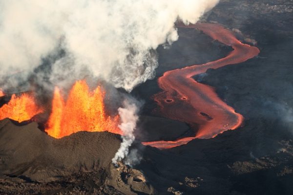
Over the 10 days since the initial eruption, the fissure has grown and the two distinct cones are producing increasing amounts of lava. Eventually the two cones will probably join together to create one large crater.
Other volcanic eruptions in the last decade have been Grímsvötn, May 2011 and Bárðarbunga August 2014-February 2015, both located under the glacier in Vatnajökull National Park.
The current Geldingadalsgos volcanic eruption is known as an effusive eruption, where lava flows steadily out of the ground, as opposed to explosive eruptions like that of Eyjafjallajökull in April, 2010. The eruption under the Eyjafjöll glacier (lava exploding through ice) caused huge clouds of volcanic ash to be pushed high into the atmosphere. Volcanic ash and jet engines don’t get along at all, so air traffic to and from Europe was paralyzed for six days. About 20 countries closed their airspace to jet traffic, affecting about 10 million travellers. Historically, an eruption of Eyjafjallajökull would normally have been followed by the eruption of the larger volcano Katla, but this didn’t happen in 2010. For now, Katla still sleeps.